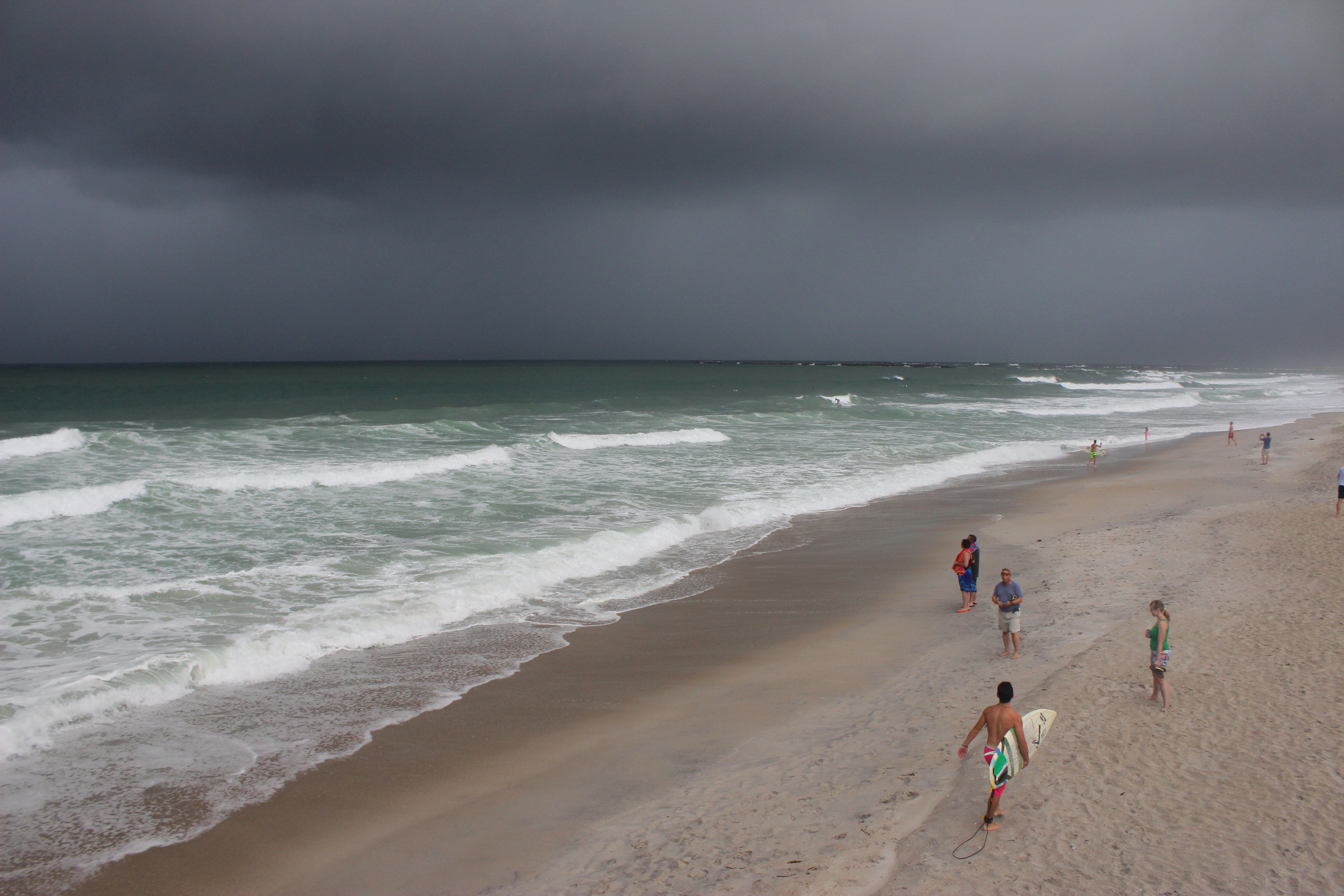
In a National Weather Service briefing at 9 a.m. weather service warning coordinator meteorologist Steve Pfaff said 40-mph sustained winds from Category 1 Hurricane Author would arrive in the Cape Fear area around 2-3 p.m. The maximum sustained winds of around 60 mph should arrive in the area by 8 p.m. The sustained winds will not dip below 40 mph until after midnight, Pfaff said.
Arthur was recently upgraded to a Category 1 hurricane with sustained winds at 90 mph.
This forecast upgraded the previous wind speeds forecasted for the area and Pfaff also said total rainfall accumulation could be anywhere from 2-4 inches. With that rainfall amount Pfaff said the area could expect isolated flooding.
As for storm surge, Pfaff said only low-lying marsh areas with no structures and tidal creeks would be affected with around 3 feet of surge expected.
Early Thursday morning the outer rain bands from Arthur began making landfall in southeastern North Carolina and northeastern South Carolina.
Arthur’s track will take it the closest to the Cape Fear area around 8 p.m., 40 miles offshore.
New Hanover County and the City of Wilmington declared a general state of emergency effective 10 a.m. with no curfews or restrictions. County and city operations will cease around 2 p.m. and there are no plans to establish shelters or evacuate any areas.
Motorists are encouraged to avoid exposed bridges and overpasses like Snows Cut at Carolina Beach after the sustained winds of 40 mph arrive after 3 p.m.
With surf already beginning to build swimming is not advised at any area beaches due to risk of severe rip currents.
Another update from the National Weather Service should be available by 1 p.m.
email [email protected]


