Hurricane Joaquin poses less of a threat to hit New Hanover County beaches, according to a National Weather Service Wilmington report on Friday morning, but conditions are still very favorable to flooding and strong marine conditions, including “dangerous surf” for the weekend.
The primary concern for the southeast North Carolina and northeast South Carolina region is flooding, the NWS report said, with a potential for life threatening flooding and a flood watch in effect until Sunday evening. There is also a marginal risk of tornadoes emerging from the storm conditions.
For North Carolina, there’s a moderate risk that rainfall will exceed flash flood guidance, while for northeast South Carolina, the risk is high. For coastal communities, flooding is possible with each high tide throughout the weekend, the report said, with additional beach erosion possible from large breakers in the surf.
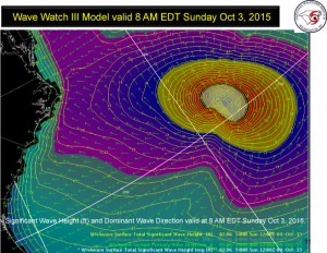
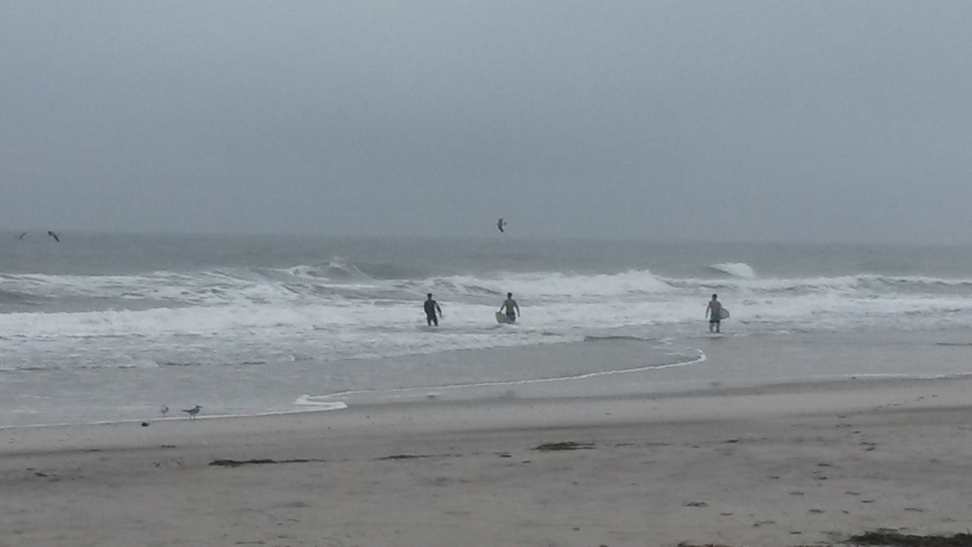
According to the 9:15 a.m. report, large waves are expected across the open ocean, with large breakers and strong rip currents projected for the weekend.
“Waves will be particularly steep near inlet entrances, especially with the falling tide,” the NWS report said.


