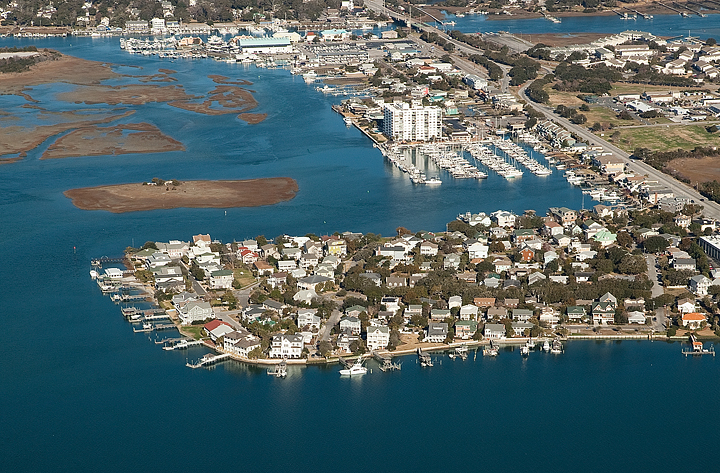
The Town of Wrightsville Beach took another step forward in securing favorable flood zone designations for areas in town, including Harbor Island, the Holiday Inn and Wrightsville Avenue, when the North Carolina Floodplain Mapping Program supported the town’s appeal of the federal flood maps.
If the Federal Emergency Management Agency (FEMA) confirms the appeal after a 90-day review, the new flood maps would be in effect, potentially lowering flood insurance costs for residents and creating more opportunities for property development.
The town appeal came after FEMA issued new flood maps in September 2014. Though an improvement in some spots, areas like Harbor Island, the Holiday Inn and the Atlantic View shopping center at 7220 Wrightsville Ave. received a lower floodplain rating in the FEMA maps. Those maps put these areas in the higher-risk VE zone, despite the fact that the maps placed many oceanfront properties in the lower-risk AE zone. To challenge the maps, the town brought in private firm Advanced Technology and Management to perform its own flood zone study using a more detailed methodology than that used by FEMA.
FEMA’s maps failed to take into account vegetation and structure that can serve to reduce the wave action during major storms, engineers with the firm said.
The favorable change in flood maps could not only help lower insurance rates, but developers constructing new buildings will have fewer building restrictions, especially for commercial properties. Businesses in a VE zone must be elevated on stilts as high as 11 or 12 feet, but businesses in an AE zone can be constructed on the ground.


