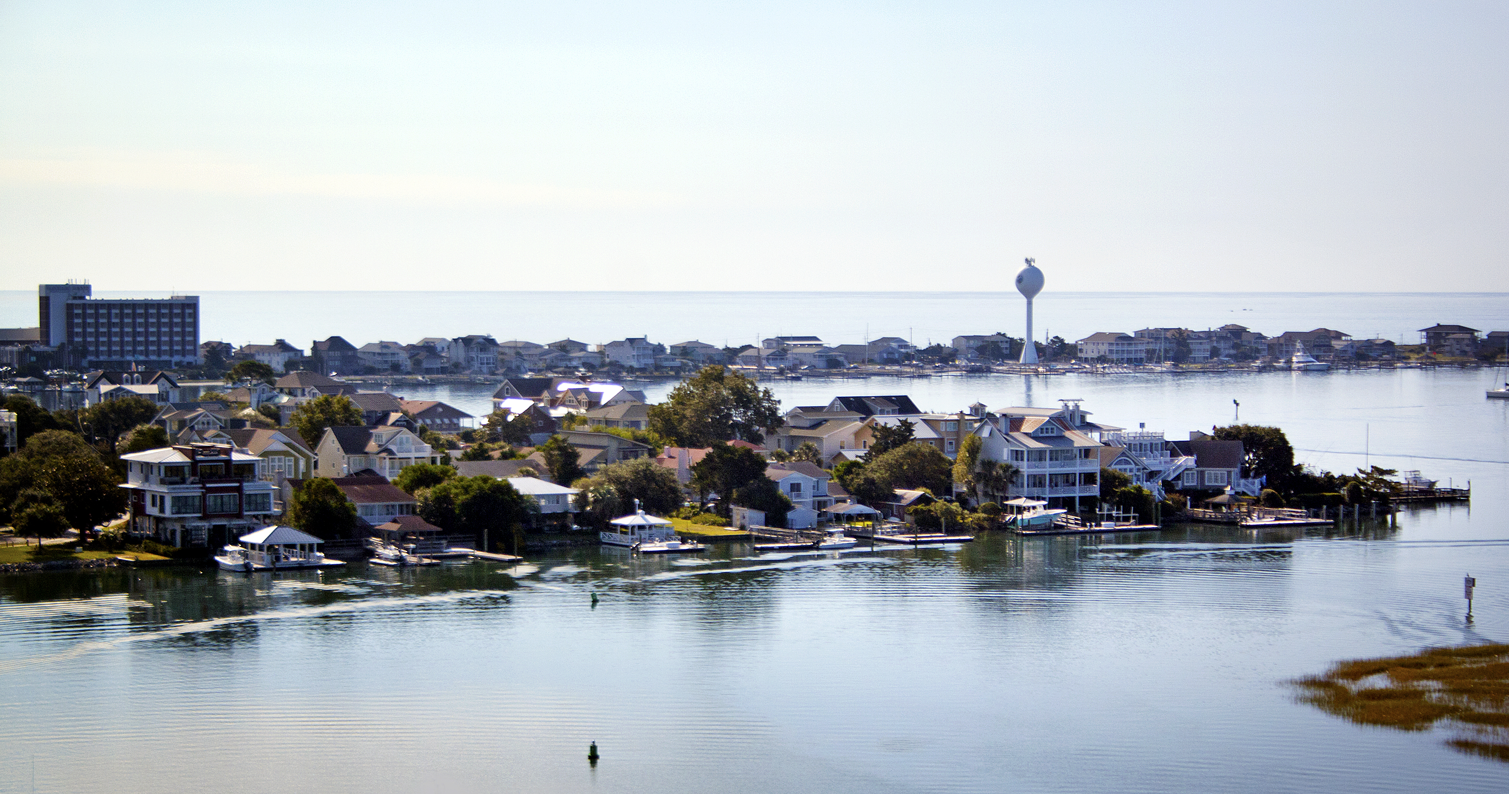
Wrightsville Beach residents and town leaders alike find parts of the newly-released preliminary floodplain maps illogical. Despite that, town manager Tim Owens said appealing the maps would be an uphill process.
Coastal research specialist Spencer Rogers showed the Board of Aldermen the current flood zone maps and the preliminary maps during the board’s Oct. 9 meeting, pointing out areas that had changed and addressing board members’ many concerns as to why certain areas changed from VE to AE and other did not.
Harbor Island and Lees Cut, for example, remained in the VE zone while one of the lowest-elevation areas on the island, the oceanfront property near Johnnie Mercer’s Pier, changed to an AE zone.
Rogers explained the zones were not just based on ground elevation; VE zones were also areas likely to see a 3-foot wave during a major hurricane. This only raised further questions from the aldermen, wondering how a storm could cause 3-foot waves to hit Harbor Island houses but not oceanfront properties.
“Living on Harbor Island, it’s just rising water, it’s not wave velocity. For oceanfront to be AE and for Harbor Island to be VE, it’s counterintuitive,” alderman Lisa Weeks said.
The predicted wave heights were reached based on modeling technology that took into account past storms in the area, Rogers said. However, he admitted predicted wave measurements for Harbor Island did not fit with actual data collected during recent hurricanes such as Floyd and Fran.
“I can’t fully explain the maps,” he said. “I’ve worked with flood maps for a long time and this damage that I see on the map is not consistent with what I see in the field.”
Mayor Bill Blair inquired about the 90-day period during which appeals can be made. While appealing the ground elevations would be fairly straightforward, Blair questioned whether elevation errors alone would be enough to change a VE zone to an AE zone.
Mayor Blair wanted to understand the process of appealing the more abstract variables, such as predicted weight height during future storms.
Rogers said it was technically possible to challenge the wave height model, if the town wanted to invest in the same advanced technology used by FEMA.
“You don’t want to pay for that,” he said.
Furthermore, Rogers said FEMA would only grant appeals if it found maps were not consistent with FEMA guidelines, and therein lay the problem.
“There are things in the FEMA guidelines that aren’t rational,” Rogers said.
Former alderman Bill Sisson outlined a possible route to appeal the maps.
“[We would have to prove] the model upon which the science was based was also flawed,” he said. “Models begin with assumptions, and if you can demonstrate the assumption underlying the model were incorrect, you may have the chance to challenge the science.”
Weeks said the board should look into the process of appealing the maps, considering it could potentially save Harbor Island and Lees Cut residents thousands of dollars in flood insurance per year.
The aldermen agreed to first create a RFP (request for proposal), and then reassess the decision to appeal during its Oct. 28 joint meeting with the Wrightsville Beach Planning Board.
email [email protected]


